The key components of an expedition are:
The Route The Danger
The Route
Start point: Kangerlussuaq.
Distance: 580-600 km
Degrees of Latitude: 65.6135° N
Peak Elevation: 8,800 ft
Endpoint: Tassiliaq
Trip Duration: 25-40 days
Potential Temperatures: 10 to -60°C
Hours of Daylight: 4 to18
Route Features
Glaciers
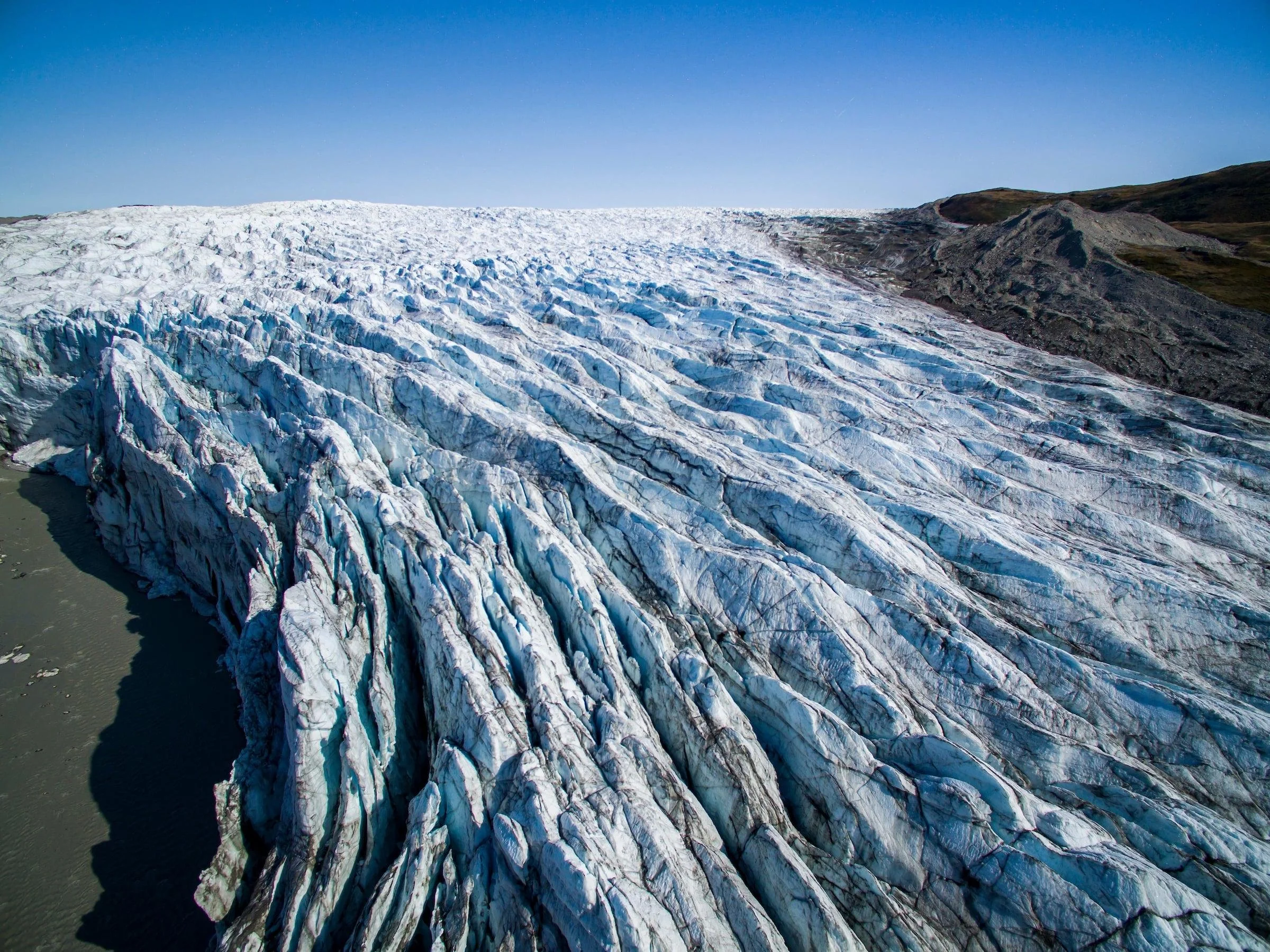
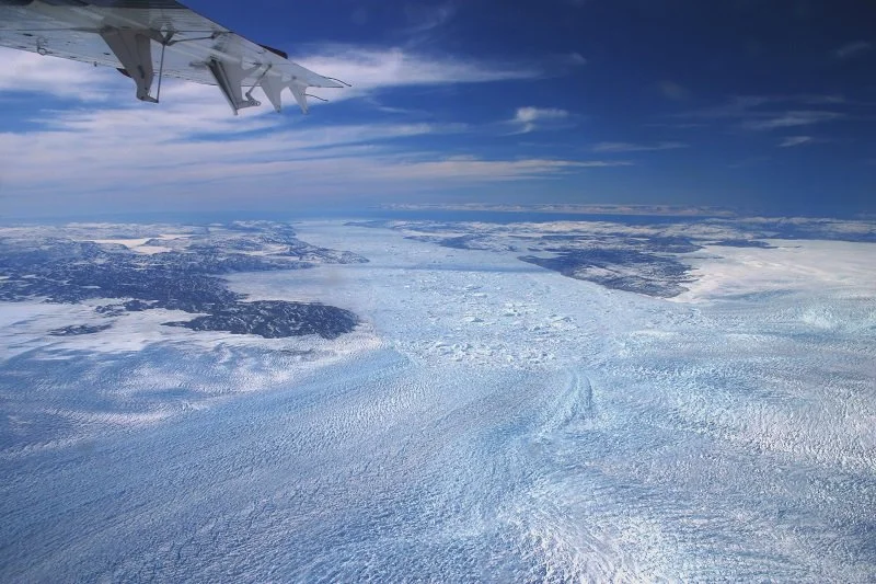
Regardless of the route, you must pass through glaciers to get to Greenland’s interior. Dotted with crevasses, the pace on these glaciers will likely be limited to 5-10 km per day.
High-altitude Plains
Upon climbing all the glaciers, the team will be met with flat, wind-swept snow plains. Located at between 7,000 - 9,000 ft, oxygen on these plains is scarce, making for difficult skiing. In addition, due to their remoteness, temperatures on these plains regularly reach -50 °C.
More Glaciers
In order to descend to sea level, you once again must pass through glaciers. By the end of April, these glaciers are in the process of melting, making for very slushy hiking.
The Danger
Piteraqs
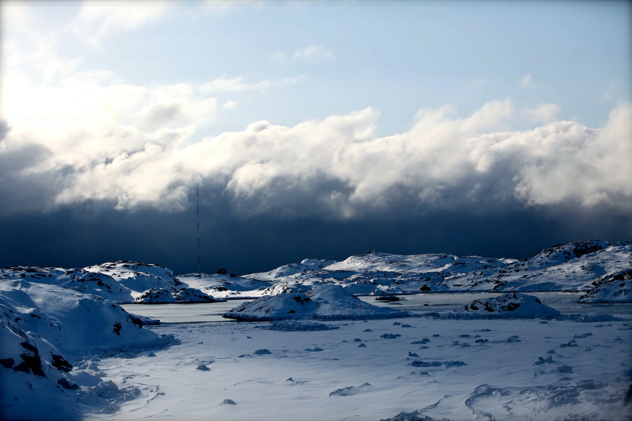
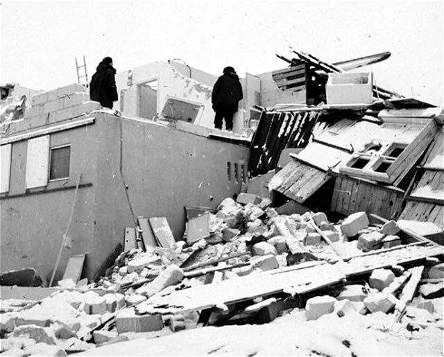
Piteraq is a Greenlandic word which translates to “that which attacks you.” Piteraqs are incredible storms that originate due to air falling off ice sheets. These storms can last for up to several days and can produce gusts greater than 300 km/h.
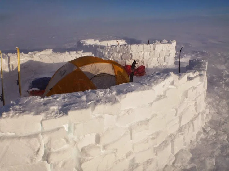
It is almost a guarantee that a Greenland crossing party encounters a Piteraq. Typically, an expedition will be in radio contact with a meteorologist. If a Piteraq forms, the group will get an 8-hour notice. With the advanced warning, the team will construct a snow wall to protect the tent from wind. Without an ice wall, the tent and the sleds will be blown away, jeopardizing the mission.
Polar Bears
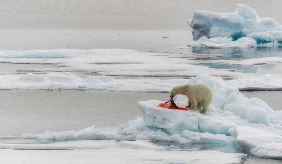
Surrounding Greenland's coasts is a sizable population of polar bears. Being the largest carnivores on the planet, they pose a significant threat if one is unprepared. The most effective way to deter polar bears is through sound deterrents, which the expedition will have on hand.


